A Lake Powell Day at Antelope Point
How to build a full day around Antelope Point: a morning slot canyon walk, an afternoon paddle to the canyon mouth, the Navajo land versus NPS water distinction, and what today's low lake levels change.
 By Daniel Begay, Navajo guide & Southwest canyon specialist
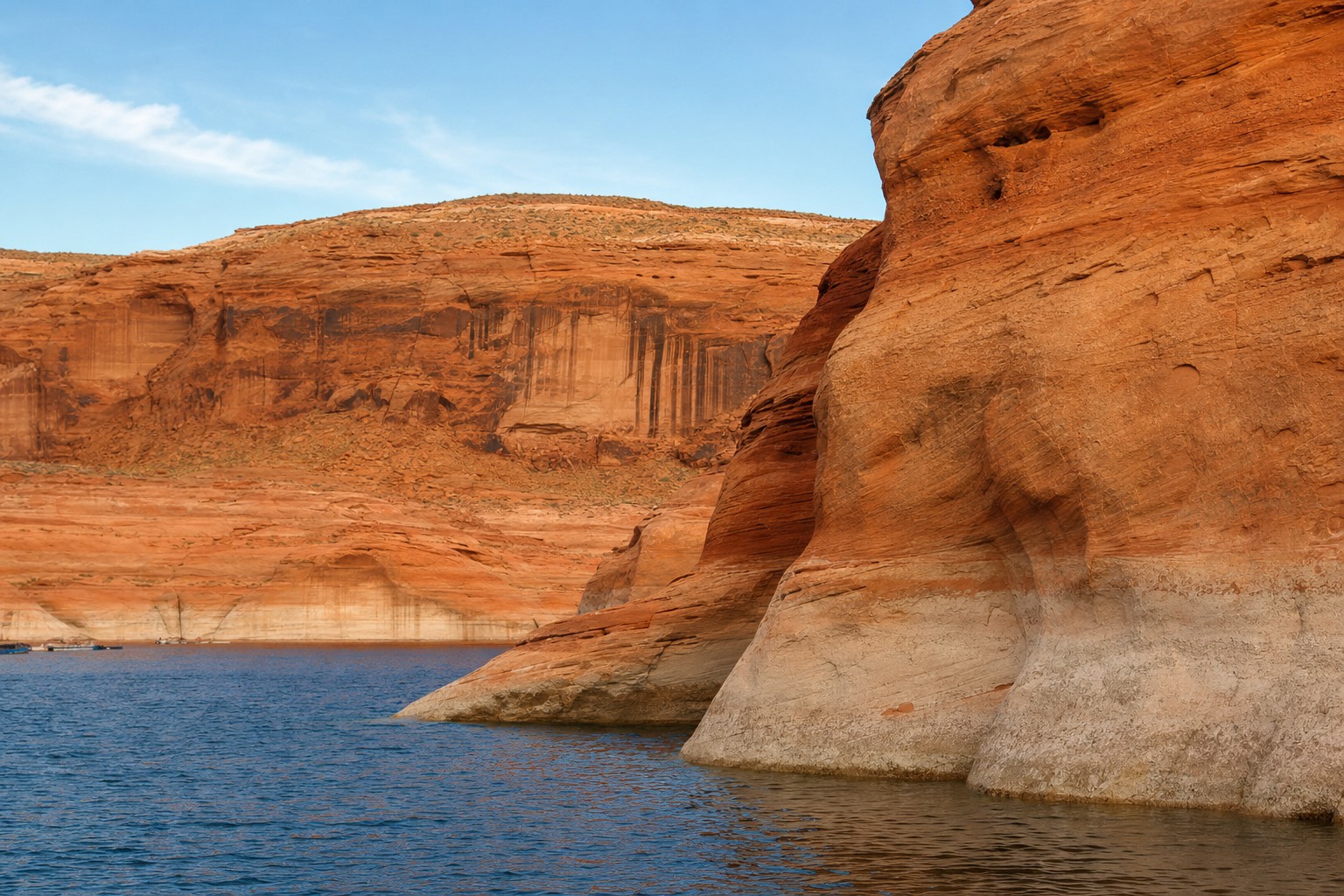
There is a spot on Lake Powell where the water reaches toward the same drainage that carved the most photographed slot canyon on Earth, and most visitors drive right past it on their way to the crowded side. Antelope Point is where the lake and the canyon country meet. I have spent my life guiding on the land side of Navajo country, and I will tell you plainly: pairing the two sides in one day, rock in the morning and water in the afternoon, is the best full day Page offers.
Quick take: build the day in two halves. Walk a slot canyon with a Navajo guide in the morning, then get on Lake Powell at Antelope Point for the afternoon, where a guided kayak route paddles toward the canyon mouth. The two halves run under different rules, Navajo land versus NPS water, and knowing the difference is the whole trick.
What is Antelope Point, and why start a Lake Powell day there?
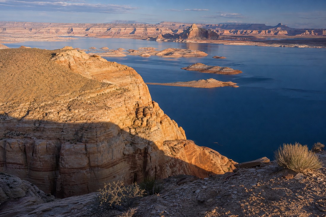
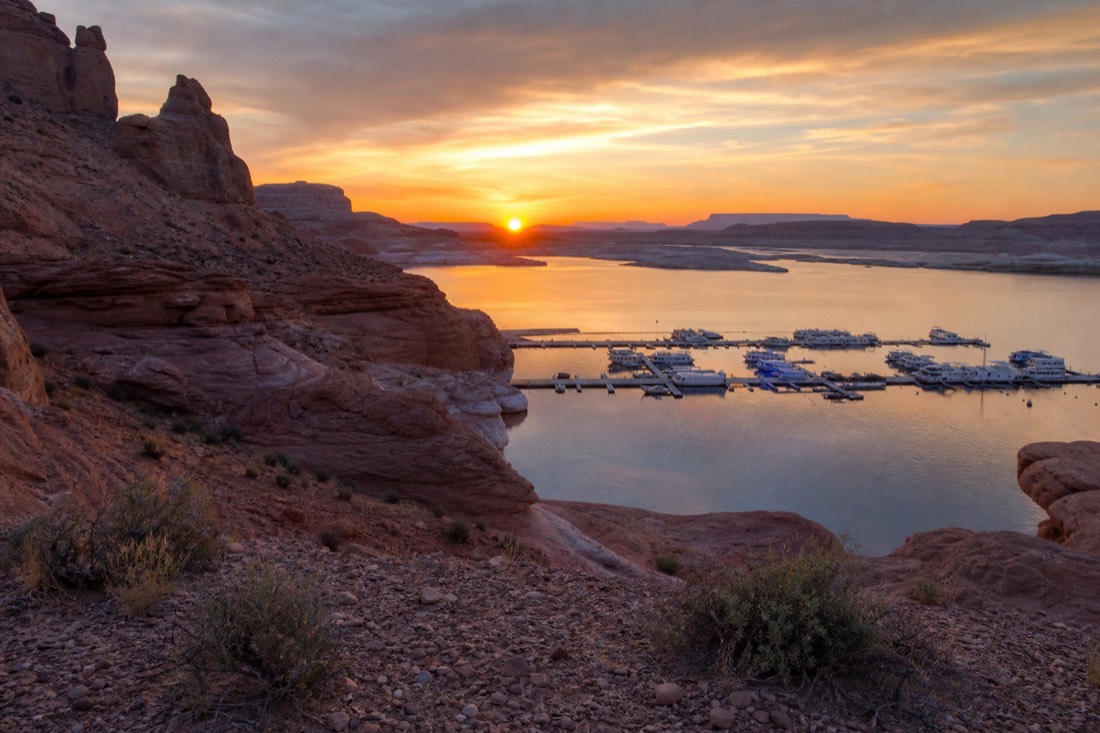
Antelope Point is the marina and launch area on the stretch of Lake Powell nearest the Antelope Canyon drainage, minutes from Page. It is the natural base for the water half of a canyon day because the kayak route to the canyon mouth begins on this arm of the lake rather than across at Wahweap.
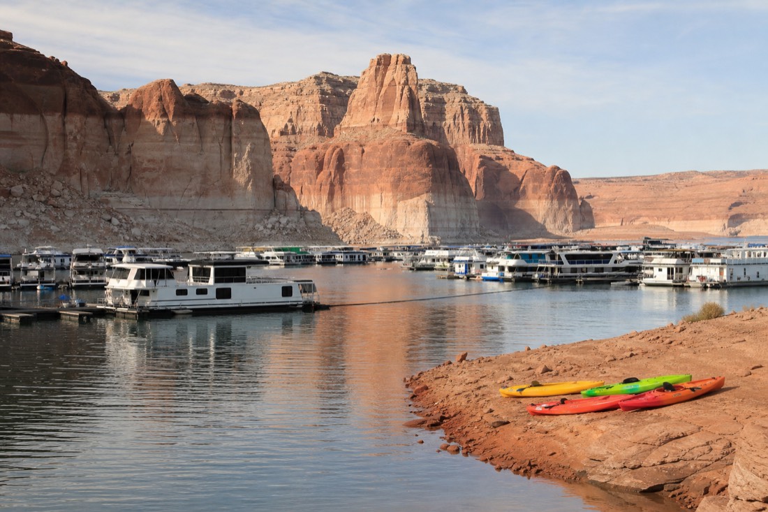
Geography does the arguing here. The famous slot sections sit in the wash country southeast of town, and that same drainage runs down to the lake. Launch at Antelope Point and you are paddling the arm of water that belongs to the canyon system you walked in the morning, which turns two separate activities into one connected story about a single piece of land.
One practical note before anything else: Lake Powell is historically low right now, and water levels change what launching looks like season to season. Check current conditions on the Glen Canyon National Recreation Area site before you build plans around any specific ramp, and let your tour operator worry about the launch logistics, which is one more argument for going guided on the water.
Can you fit a slot canyon walk and the lake in one day?
Comfortably, if you book the walk early. Canyon walks run about an hour on the ground, and the kayak route is a four-hour block, so a morning slot plus an afternoon launch fits with margin for lunch in Page. The one thing that wrecks the math is the region's two-clock time-zone trap.
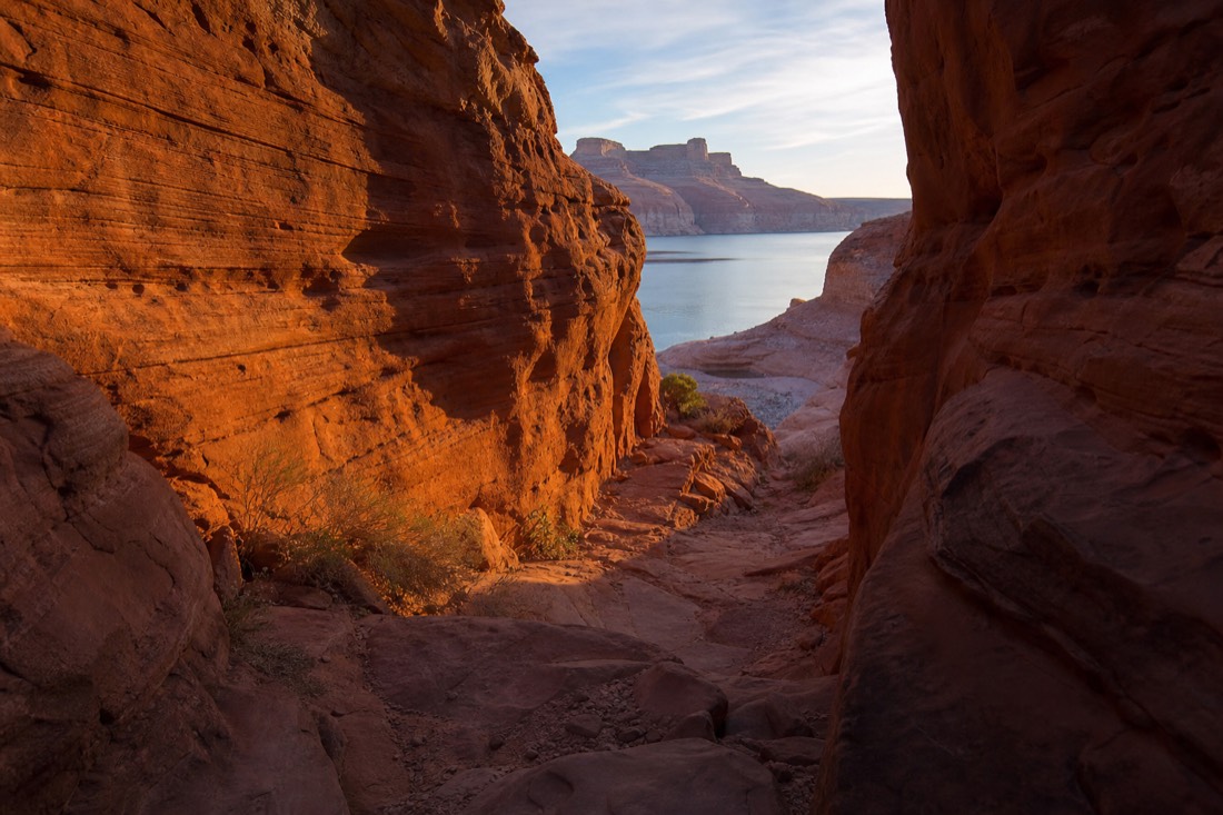
The scheduling logic favors an early canyon slot for two reasons. Morning departures are the easiest to get, since midday sells out first in peak season. And a morning walk banks your weather margin: monsoon storms build through summer afternoons, and if the canyon cancels you still have the day to reshuffle, a play I cover in the monsoon backup plan.
The clock deserves respect. Page stays on Mountain Standard Time all year while the surrounding Navajo Nation observes daylight saving, so in summer your phone can jump an hour depending on which tower it catches. Confirm both bookings against Page time, in writing, and give yourself an hour of slack between the walk and the water. A one-day Page itinerary can squeeze this even tighter, but the two-booking day already fills the hours well.
How does the kayak route to the canyon mouth work?
It is a guided four-hour trip: paddle Lake Powell from the launch toward the canyon mouth, then hike into the dry slot country where the drainage meets the lake, with an optional swim. It rates 4.7 from 48 Viator reviews and carries free cancellation per the listing. It is not a Navajo-guided walk and does not replace one.
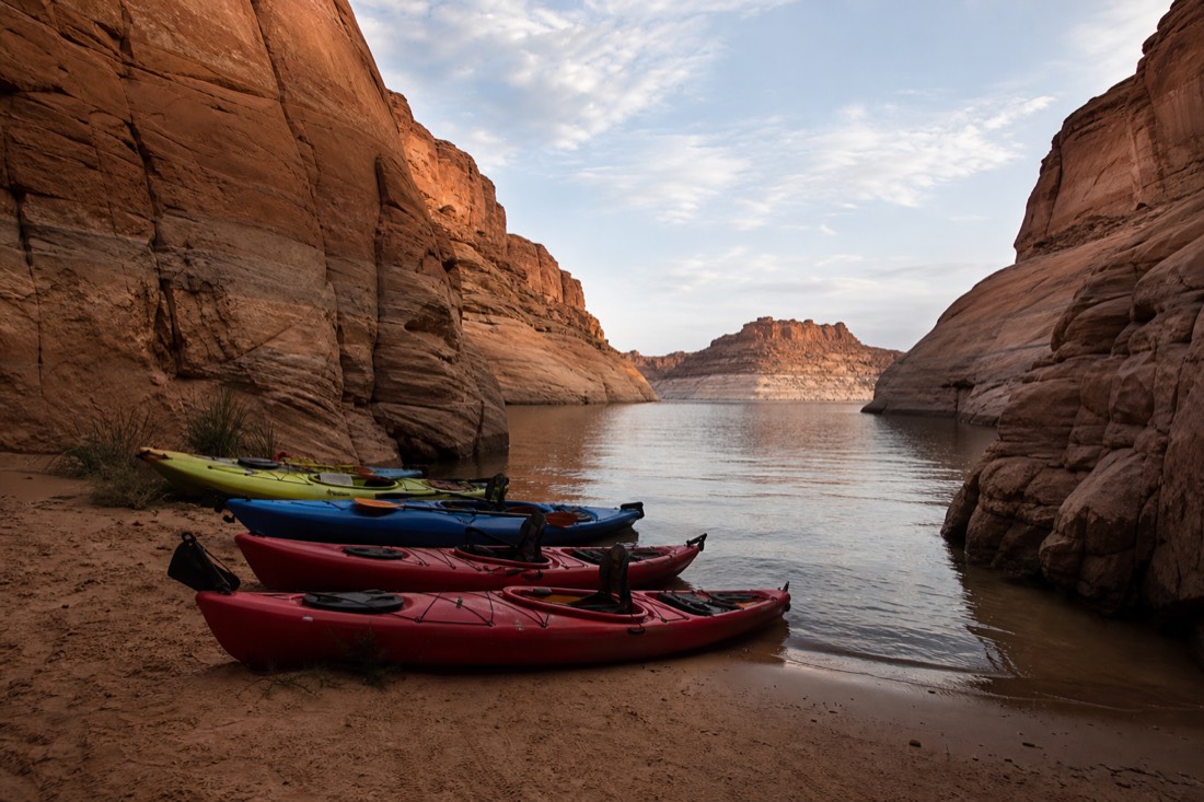
I want the framing exactly right because this trip gets missold around the internet. The kayak route runs on the NPS-managed water of Glen Canyon National Recreation Area. You paddle, you beach, you hike into the wash where the canyon system runs down to the lake. It is a water-and-hiking day with slot country at the end of it, and reviewers rate it well on those terms. What it is not is a substitute for standing inside Upper or Lower with a Navajo guide. Different land, different rules, different experience.
Taken as the afternoon half of a two-part day, though, it is exactly the right shape: four hours, physical but not brutal, and pointed at the same drainage you walked that morning. The kayaking post has the paddle-by-paddle version.
What is the difference between the Navajo side and the NPS side?
Jurisdiction, and everything that follows from it. The slot canyons sit on Navajo Nation land: guided-only, $15 per person per location per day tribal permit, no self-access ever. The lake surface sits in Glen Canyon National Recreation Area: NPS entrance fees, self-access allowed, guides optional. One day, two systems.
This is the distinction that untangles almost every confused question I hear about visiting this area, so here it is side by side.
| Navajo land side (slot walks) | NPS water side (lake and kayak) | |
|---|---|---|
| Who manages it | Navajo Nation Parks and Recreation | National Park Service, Glen Canyon NRA |
| Access rule | Authorized Navajo guide required, always | Self-access allowed, guided trips optional |
| Fee structure | $15 per person, per location, per day tribal permit | NPS entrance fees for the recreation area |
| How you book | Permitted operators, direct or via platforms | NPS entry plus optional tour booking |
| What you experience | Inside the sculpted slot corridors | Open water, shoreline, canyon mouths |
The official operator roster governs the land side completely, and no lake trip changes that. When someone tells you they kayaked to Antelope Canyon without a guide, what they mean is they paddled NPS water to the drainage mouth. The slots themselves stayed behind the permit line, exactly as they should.
How low is Lake Powell, and does it change the day?
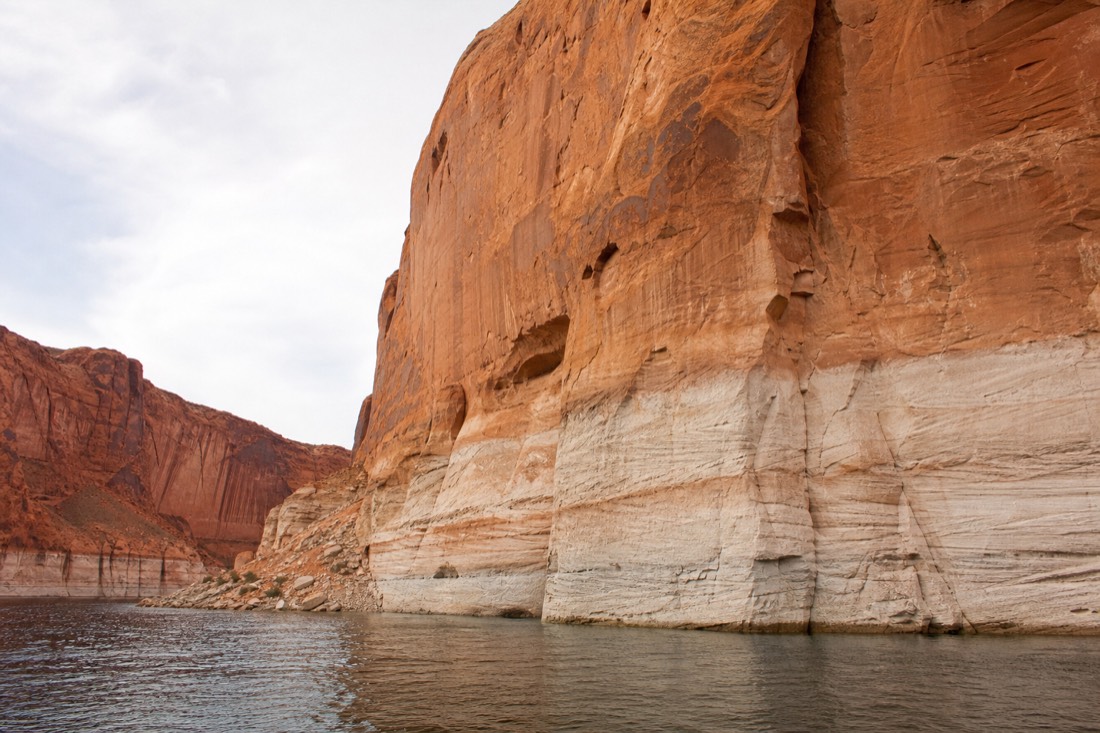
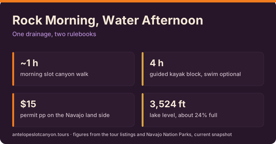
Very low. The lake measured about 3,524 to 3,525 feet in early summer, roughly a quarter full and around 170 feet below full pool, with projections near 3,516 feet by the water year's end. The paddle is still spectacular; what changes is launch logistics and how much bathtub-ringed rock you will see.
Here is the water picture in numbers, and what each number means for a visitor.
| Measure | Recent figure | What it means on the ground |
|---|---|---|
| Lake elevation | About 3,524 to 3,525 feet | Far below the 3,700-foot full pool line |
| Percent full | Roughly 24 to 27 percent | Narrower channels, more exposed rock |
| Distance below full pool | Around 170 feet | The white ring on the cliffs shows the difference |
| End-of-year projection | Near 3,516 feet, about 22 percent | Conditions keep shifting, check before you go |
As a guide, I refuse to sell the low lake as a tragedy for visitors, because the honest truth is stranger: falling water keeps revealing canyon walls no one has seen since the reservoir filled. The paddling distances shift, launch points adapt, and the operators adjust routes season by season. Your job is only to book the guided version and confirm the meeting details close to your date.
What does the full day look like, hour by hour?
Morning slot walk on Page time, lunch and regroup in town, afternoon four-hour paddle from the Antelope Point side, then Horseshoe Bend or the dam overlook at golden hour if your legs agree. One day, both sides of the canyon system, no wasted driving.
Here is the shape of the day, with the clock caveat baked in.
| Time block (Page time) | What you are doing | Why this order |
|---|---|---|
| Early morning | Slot canyon walk with a Navajo guide | Easiest slots to book, best weather margin |
| Late morning | Drive back to Page, real lunch | Buffer absorbs any check-in overrun |
| Early afternoon | Four-hour guided kayak block | Water half runs on the NPS side |
| Golden hour | Horseshoe Bend or the dam overlook | Short walks, no booking required |
My call on the ideal version: book the earliest Lower Antelope walk you can get, eat a real lunch in Page rather than granola bars in a parking lot, and be at the water with time to spare. By evening you will have seen the same sandstone from inside its narrowest corridor and across its widest reflection. Very few landscapes anywhere let you do both before dinner. The things-to-do guide can fill whatever daylight you have left.
Your next booking step
Antelope kayak and hike
Have a travel date in mind? Four hours combining Lake Powell paddling and a walk into Water Antelope Canyon. Kayak, paddle, life jacket and dry bag supplied. Check the date before arranging the rest of this part of your trip.
General starting point — confirm the exact party and date
Select a date to load the Viator schedule. Availability and final price are confirmed on Viator.
Check dates for Antelope kayak and hike
Use the launch location in your confirmation; arrive 30 minutes early. Return paddle to the launch. Choose the four-hour kayak-and-hike option. Ages 5+; bring water and food. National Park Pass and tips extra. Not Upper or Lower; not recommended during pregnancy or with spinal/cardiovascular conditions.
Compare routes, adjust your plan & budget
How to build a full day around Antelope Point: a morning slot canyon walk, an afternoon paddle to the canyon mouth, the Navajo land versus NPS water distinction, and what today's low lake levels change. These are different experiences, not interchangeable admission tickets. All listed guiding is in English.
Four hours combining Lake Powell paddling and a walk into Water Antelope Canyon. Kayak, paddle, life jacket and dry bag supplied. 240 minutes; English; from Page. Use the launch location in your confirmation; arrive 30 minutes early. Return paddle to the launch. Choose the four-hour kayak-and-hike option. Ages 5+; bring water and food. National Park Pass and tips extra. Not Upper or Lower; not recommended during pregnancy or with spinal/cardiovascular conditions.
A timed walk among Lower’s sculpted walls, with entry and the Navajo permit included. 60 minutes; English; from Page. Ken’s Tours, Lower entrance; arrive 30 minutes early. Return to the same site. Steel stairs and narrow passages; no bags or tripods. Not recommended during pregnancy or with spinal/cardiovascular conditions. Customer cancellation: full refund at least 24 hours before departure; reconfirm at checkout.
A five-hour guided float through the Colorado River corridor below Horseshoe Bend. 300 minutes; English; from Page. 199 Kaibab Road, Page; arrive 45 minutes early. Confirm the operator’s return transport. Ages 4+. National Park entry and lunch extra. River route, not Lake Powell or slot admission. Accessibility statements differ between API and public bus details: arrange access with the operator before booking.
Affiliate links: we may earn a commission at no extra cost to you. Schedule dates are not confirmed seats.